
Fairfax County and much of the region could see up to nine inches through tomorrow.
The National Weather Service issued a winter storm warning for the region last night. Snow accumulations between four and nine inches are expected.
The Virginia Department of Transportation is urging residents to avoid unnecessary travel during today’s storm.
So far, crews are treating roads and will begin to plow snow once it accumulates throughout the day.
“With more than 3,000 pieces of equipment, crews will work around the clock on state-maintained roads, focusing on clearing roads that carry the most traffic first. These include interstates, primary roads, and routes connecting public safety and emergency services. Crews can then focus on neighborhoods and lower-volume roads,’ VDOT wrote in a statement earlier this morning.”
Here’s more from NWS:
…WINTER STORM WARNING REMAINS IN EFFECT FROM 1 AM SUNDAY TO MIDNIGHT EST SUNDAY NIGHT…
* WHAT…HEAVY SNOW EXPECTED. SNOW ACCUMULATIONS THROUGH SUNDAY NIGHT AROUND 3 TO 6 INCHES WITH ICE ACCUMULATIONS AROUND ONE TENTH OF AN INCH.
* WHERE…THE WASHINGTON METROPOLITAN AREA.
* WHEN…FROM 1 AM SUNDAY TO MIDNIGHT EST SUNDAY NIGHT. SNOW WILL OVERSPREAD THE AREA BETWEEN 3 AND 5 AM EARLY SUNDAY MORNING. THE STEADIEST SNOW WILL FALL THROUGH SUNDAY AFTERNOON BEFORE TAPERING OFF TO AN INTERMITTENT MIX OF LIGHT SNOW, SLEET, AND FREEZING RAIN. ADDITIONAL SNOW IS EXPECTED MONDAY THROUGH MONDAY NIGHT WITH ADDITIONAL ACCUMULATIONS MOST LIKELY AROUND 1 TO 3 INCHES, BRINGING THE STORM TOTAL ACCUMULATIONS AROUND 4 TO 8 INCHES.
* IMPACTS…TRAVEL WILL BE VERY DIFFICULT SUNDAY THROUGH TUESDAY MORNING DUE TO A PROLONGED PERIOD OF SNOW AND WINTRY PRECIPITATION WITH TEMPERATURES NEAR OR BELOW FREEZING.
PRECAUTIONARY/PREPAREDNESS ACTIONS…
IF YOU MUST TRAVEL, KEEP AN EXTRA FLASHLIGHT, FOOD, AND WATER IN YOUR VEHICLE IN CASE OF AN EMERGENCY.
WHEN VENTURING OUTSIDE, WATCH YOUR FIRST FEW STEPS TAKEN ON STEPS, SIDEWALKS, AND DRIVEWAYS, WHICH COULD BE ICY AND SLIPPERY, INCREASING YOUR RISK OF A FALL AND INJURY.
VDOT also issued the following tips for residents
Stay home and avoid driving throughout the storm. Heavy snow bands will mean reduced visibility and potential for conditions to deteriorate quickly. Should the higher end of forecasts materialize, it will take some time to make a passable lane on all roads.
Park in driveways or a single side of the street to allow a wider path for plows.
View tips on shoveling driveways, as the plows will push some snow back. Take frequent breaks, especially when shoveling heavy, wet snow.
If you absolutely must travel, completely clear your car, reduce speeds significantly and use these winter driving tips. Use extreme caution on areas prone to freezing such as bridges, ramps and overpasses. Be prepared with gas and wiper fluid tanks and an emergency kit.
Monitor road conditions and traffic cameras from home on www.511virginia.org, on the free mobile app, or call 511 in Virginia.
Follow @vadotnova and @NWS_BaltWash for real-time updates. Learn more about snow removal at virginiadot.org/snow and stats for Northern Virginia.
Roads are slick as snow continues to fall. Please use caution and if possible, stay home! #FCPD pic.twitter.com/ppRbDMinUz
— Fairfax County Police (@FairfaxCountyPD) January 31, 2021
Photo via Doug Errett/Twitter
Recent Stories

Celebree School will have a grand opening for its new Herndon location on Saturday, April 27 (courtesy of Celebree School) A Maryland-based early childhood education company is opening a second…
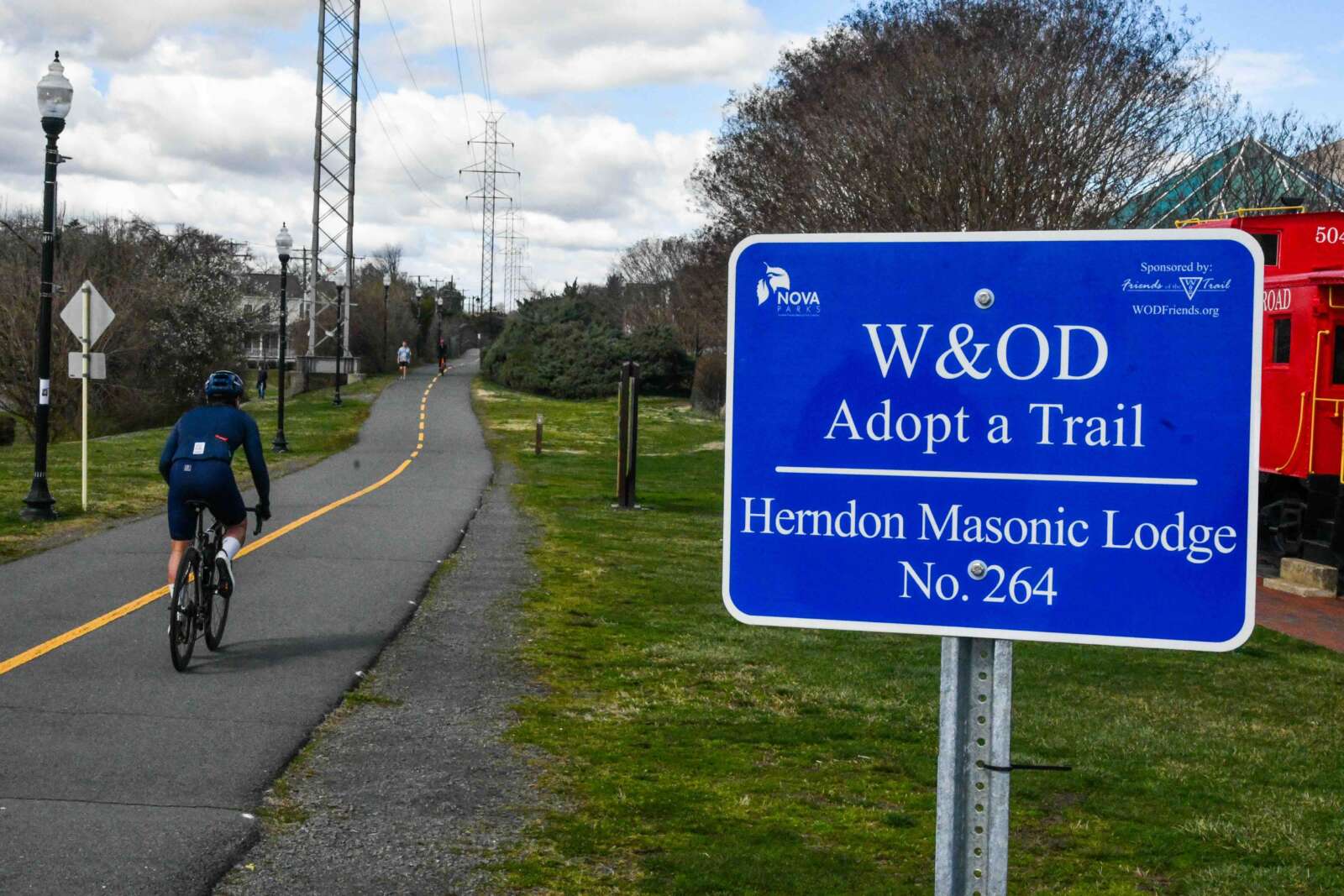
W&OD Trail in Herndon (staff photo by James Jarvis) The Washington & Old Dominion (W&OD) Trail has reached the half-century mark. The Northern Virginia Regional Park Authority (NOVA Parks) is…
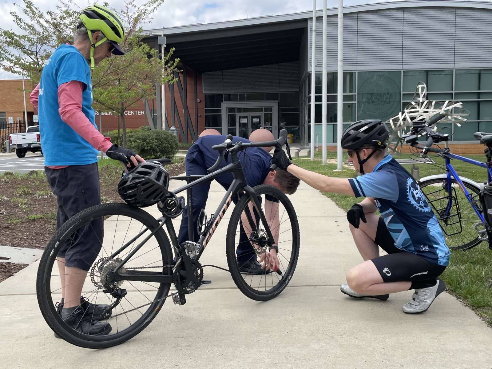
Left to right: Fairfax Alliance for Better Bicycling President Bruce Wright, Hunter Mill District Supervisor Walter Alcorn and Reston Bike Club Vice Chairman Joel Kuester team up to promote the…

Heming, a mixed-use apartment building in Tysons, at sunset (staff photo by Angela Woolsey) FCPS Prevails in Sexual Assault Lawsuit — “A jury on Wednesday rejected a woman’s lawsuit seeking…