Updated at 4:45 p.m. — Fairfax County Public Schools announced that schools will open two hours late tomorrow (Feb. 21). School offices and central offices will open on time.
Earlier: Major roads appear clearer and mostly without traffic this afternoon, yet public safety officials keep asking locals to stay off of the roadways.
An emergency post from Fairfax County said that a number of traffic accidents took place today (Feb. 20) around the county. With sleet and rain recently replacing the snow, locals can expect slippery roads, the National Weather Service warns.
Herndon and Reston saw around 4.5 inches of total snow accumulation, according to NWS.
With the majority of the snow now changed over to sleet/ freezing rain, attention is turned to ice accumulations as temperatures only gradually warm above freezing. Advisories & Warnings continue through the evening, with the greatest ice accumulations north/west of I-95. pic.twitter.com/uNqXPPgPyB
— NWS Baltimore-Washington (@NWS_BaltWash) February 20, 2019
Several locals posted photos noting the change this afternoon from snow to a wintry mix of sleet and rain.
Sleet eroding snow in Reston @capitalweather pic.twitter.com/b7xIVFUUNr
— Bill Burton (@burtonwc) February 20, 2019
Looks like we are at around 4” in Reston @capitalweather – mostly sleet coming down at this point. pic.twitter.com/DKiM3TlzwD
— C. G. Niederstrasser (@RocketScient1st) February 20, 2019
https://twitter.com/hollyweatherwax/status/1098248450783760385
A Winter Weather Advisory is in effect for the county and surrounding area until 10 p.m. for snow, sleet and ice.
More from NWS:
WHAT…Mixed precipitation. Additional snow and sleet
accumulations of less than one inch through mid afternoon, then
ice accumulations of up to one tenth of an inch through 10 pm.
All freezing rain is expected to transition to rain by 10 pm.* WHERE…Portions of central and northern Virginia.
* WHEN…Until 10 PM EST this evening.
* ADDITIONAL DETAILS…Plan on slippery road conditions. The
hazardous conditions will impact the evening commute.PRECAUTIONARY/PREPAREDNESS ACTIONS…
A Winter Weather Advisory means that periods of snow, sleet or
freezing rain will cause travel difficulties. Expect slippery
roads and limited visibilities, and use caution while driving.When venturing outside, watch your first few steps taken on
steps, sidewalks, and driveways, which could be icy and slippery,
increasing your risk of a fall and injury.
The weather has prompted some event cancellations tonight in Reston and Herndon.
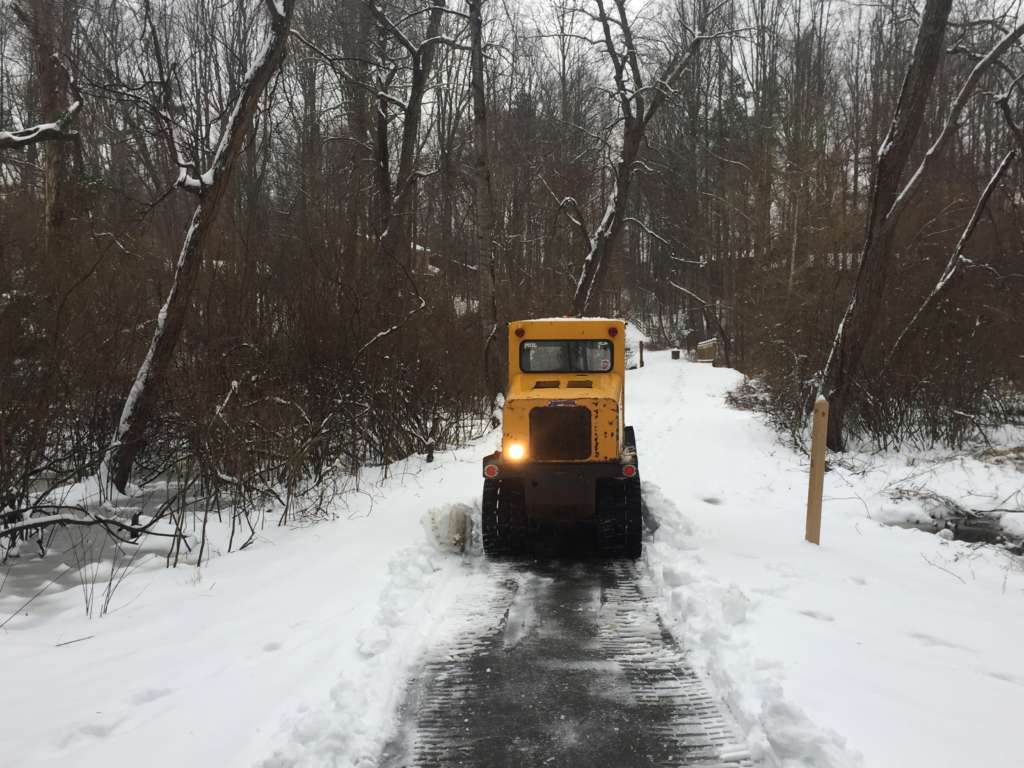
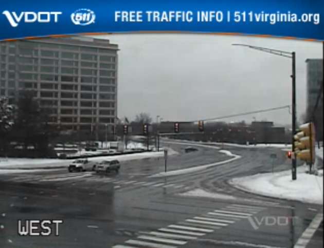
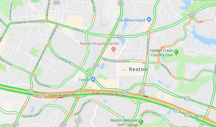
Images via Virginia 511, Google Maps and Marjorie Copson
")
Updated at 4:35 — FCPS tweeted that its schools will be closed tomorrow.
Earlier: This time tomorrow, locals in Reston and Herndon can expect snow, sleet and ice from a winter storm slated to hit late tonight.
Forecasts predict that snowfall will start between 3-5 a.m. on Wednesday (Feb. 20) before transitioning into freezing rain with sleet during the late afternoon. Snowfall is then expected to return before rain hits Wednesday night, according to Fairfax County Emergency Information.
The storm will likely leave between 4-6 inches of total snow accumulation and ice, posing risks for road safety.
The National Weather Service issued a Winter Storm Warning today ahead of the harsh, wintry weather.
More from the NWS:
WINTER STORM WARNING REMAINS IN EFFECT FROM 1 AM TO 7 PM EST WEDNESDAY…
* WHAT…Heavy mixed precipitation expected. Total snow accumulations of 3 to 6 inches and ice accumulations of up to one tenth of an inch expected.
* WHERE…The District of Columbia and portions of central Maryland and central and northern Virginia.
* WHEN…From 1 AM to 7 PM EST Wednesday. Snow will overspread the area early Wednesday morning and mix with and change to sleet and freezing rain during the late morning and early afternoon hours Wednesday. Precipitation will change to plain rain Wednesday evening. The heaviest snow is likely Wednesday morning.
* ADDITIONAL DETAILS…Travel could be very difficult. The hazardous conditions could impact the morning or evening commute.
PRECAUTIONARY/PREPAREDNESS ACTIONS…
A Winter Storm Warning means significant amounts of snow, sleet and ice will make travel very hazardous or impossible.
When venturing outside, watch your first few steps taken on steps, sidewalks, and driveways, which could be icy and slippery, increasing your risk of a fall and injury.
The Capital Weather Gang is uring workers to telecommute tomorrow morning. But if commuters do decide to hit the roads, they should “expect very difficult conditions,” the D.C.-area weather group tweeted.
The Virginia Department of Transportation said in a snow update this afternoon that crews have pretreated interstates and major routes throughout northern Virginia and that trucks get set up along roadways tonight so they will be ready to plow and treat roads tomorrow as needed.
Still, VDOT wants locals to “plan now to avoid driving through the day Wednesday and after the storm until conditions have improved.”
⚠️ Winter Storm Warning
⏰ Effective from 1 a.m – 7 p.m. Wednesday
❄️ 4-6 inches of snow and ice accumulations of up to one tenth of an inch
🚘 Hazardous travel conditions are expected
📲Stay informed: https://t.co/PAQyz4nJGn pic.twitter.com/AgVIpzppae— Ready Fairfax (@ReadyFairfax) February 19, 2019
Some places have already started announcing closures on Wednesday.
The Reston Animal Hospital and HealthWorks in Herndon will be closed, and the Greater Reston Chamber of Commerce canceled its events for tomorrow.
If you live in Herndon, don’t put out your recycling tonight. Mayor Lisa Markel posted on Facebook that recycling will be collected on Thursday instead.
Info from @TownOfHerndon: Prior to snow, please move cars off of roads so the snow plows can get through. Recyclables will NOT be picked up Wed, but picked up town-wide on Thu. Trash normally collected on Thurs will be collected on Fri. Updates here: https://t.co/azHcy0RddT pic.twitter.com/CzEGc0sZiy
— Herndon Police (@HerndonPolice) February 19, 2019
Whether you stay bundled inside or venture outdoors, stay safe and send Reston Now any pictures that you snap of the snow to [email protected] or tag us (@restonnow) on social media.
Photo by Marjorie Copson
")
All Fairfax County Public Schools will open two hours late tomorrow (Friday), ushering in a second day of weather-related impacts on schools.
School offices and central offices will remain open. All county public schools were closed today due to snowy conditions.
Photo via Twitter user @MrErrett
 Update, 11:26 a.m. — South Lakes High School has announced the following events are postponed Wednesday evening:
Regional Track Meet that was to be held at the Prince George’s Sports Complex has been postponed. Information about the rescheduled date and time is not yet available.
Hipsanic Parent Meeting for Wednesday has been cancelled.
PTSA Meeting for tonight has been cancelled. The Academic Advising program will be presented at the March meeting scheduled for Wednesday, March 12 at 7 p.m. in the library.
Original story, 9 a.m. Wednesday:
The National Weather Service has upgraded its winter storm watch to a winter storm warning — meaning a significant snowstorm is heading towards Northern Virginia Wednesday evening.
The Winter Storm Warning will be in effect from 8 p.m. Wednesday to 3 p.m. Thursday. The NWS says 4 to 8 inches of heavy snow and sleet will fall, with the high end of the range hitting areas West of the city, including Reston.
Virginia Gov. Terry McAuliffe has issued a state of emergency for the commonwealth. A state of emergency, authorizes state agencies to position resources to prepare for the storm and recovery, including the Virginia Department of Emergency Management, the Department of Transportation, the Virginia National Guard and utility companies.
McAuliffe said Virginia Department of Transportation (VDOT) crews are conducting anti-icing operations on major roadways across the state in preparation for the storm.
“VDOT is in a constant state of preparation and response mode this winter to clear roadways and keep traffic and commerce moving as safely as possible,” said Governor McAuliffe.“Crews will be out in force through the duration of the storm to treat and plow roads. Motorists are urged to avoid driving during the snow storm because of slick road conditions.”
More than 12,300 pieces of equipment, including trucks and plows will be deployed. VDOT is also prepared to remove trees, branches and other debris that may fall on roadways. The agency said its goal is to have roads passable within 48 hours of the storm.
In weather-related travel news, Amtrak has suspended some East Coast and southern routes due to the ice storm currently hitting the southern states.
Reston Now will update this story with any closings or advisories.

Update, Monday, 2:45 p.m. — The National Weather Service has canceled its earlier Winter Storm Watch for Tuesday in Northern Virginia.
The forecast has been downgraded to a Winter Weather Advisory, in which snow — heavy at times — could accumulate from 3 to 5 inches in Reston and nearby areas.
The snow should start Tuesday at dawn and continue through early afternoon. There is the potential for 1 to 2 inches per hour coinciding with morning rush hour, the NWS advisory says.
Update, Monday noon — The icicles from Sunday continued to melt for much of Monday morning, but keep your shovels handy as the National Weather Service has issued a winter storm watch for the Reston area for Tuesday.
NWS says the entire Northern Virginia region is under the watch from Monday night into Tuesday afternoon.
Precipitation could start with sleet Monday night — but could result in accumulations of 5 inches or more of snow to fall on Tuesday,
Temperatures Tuesday are expected to be in the upper 20s and lower 30s. Morning snow could fall at rates between 1-2 inches per hour for two to four hours, the NWS says.
Also, Dominion Virginia Power reported that as of mid-day, about 4,000 customers in Reston are without power. The majority of them are in neighborhoods off Lawyers Road.
Original story, Monday 8 a.m. — Reston residents woke up to slick roads and ice-covered trees on Monday as Sunday’s snow, sleet and rain refroze into a crystal mess.
Temperatures should warm up throughout the day. The high is 42, so much of the ice should melt and additional precipitation later be rain, according to The Weather Channel.
However, the forecast calls for two to four inches of snow on Tuesday.
Fairfax County Public Schools are closed on Monday, and the Federal Government is on a two-hour delay. Fairfax County Government is open with unscheduled leave granted to employees. Fairfax County Circuit Court, General District Court and Juvenile and Domestic Relations District Court will be closed.
Dominion Virginia Power says more than 46,000 customers are without power, 23,000 of them in Fairfax County. To see more specifics, check out Dominion’s Outage Map. To report an outage call 1-866-DOM-HELP.
A tractor trailer filled with tires overturned early Monday morning on the outer loop of the Beltway near Tysons Corner, causing delays for drivers. Virginia State Police said they could not determine if the accident near Chain Bridge Road was caused by weather-related problems. The incident occurred just before 3 a.m. near Chain Bridge Road. By 7 a.m., two lanes were getting by, but backups are still significant.
Somewhere you have to be? Read these tips from The Weather Channel on driving on ice.
This story will be updated as developments warrant. Have any great weather photos? Tweet us at @RestonNow, post them on our Facebook Page or email to [email protected].
(Photo of ice-covered tree in Reston courtesy of Mary Dominiak via Twitter)