
The Virginia Department of Transportation has launched a new website that can tell you which roads near you are undergoing — or will be undergoing — construction and repairs.
The interactive portal, www.Virginiaroads.org, provides a one-stop information source to VDOT data and projects, Virginia Gov. Terry McAullife said in announcing the project.
From the office of the governor:
An important feature of this new portal are interactive maps showing current and planned road construction projects included in the Six-Year Improvement Program as well as pavement conditions and resurfacing projects. Some of the data made available through this app is in response to requests by Virginia broadband providers to have greater visibility and earlier notice regarding road construction and repair projects. Providing access to this data will facilitate coordination between VDOT and broadband providers seeking to build new infrastructure.
“Virginiaroads.org is a prime example of the type of project I envisioned when we launched our Data. Virginia initiative aimed at using data to make government more transparent,” said Gov. McAuliffe. “It’s as simple as clicking on the link, selecting a location and seeing in a glance the status of current and future transportation projects. The information is easily accessible and open for to the public to see how their taxpayer dollars are being invested to improve Virginia’s road system.”
Virginiaroads.org features a series of interactive maps in a central online location. Maps display current construction projects, projects in the design phase, projects scheduled to go to construction and future projects. Projects can be searched via project stage, location, route or street name and the project identification number as it is listed in the Six-Year Improvement Program.
Another map shows pavement conditions, with colors identifying whether a section of pavement is in excellent, good, fair or poor condition. You can click on a section of pavement to find out more details on resurfacing projects.
Other maps on the site
- 511 real-time traffic information
- Park and ride lots
- Snow plowing status
- Virginia toll facilities
- Major road construction
- Highway safety corridors
- Truck routes
- Scenic roads
- Bicycling maps
- Capital trail
- State maps
- City maps
Recent Stories
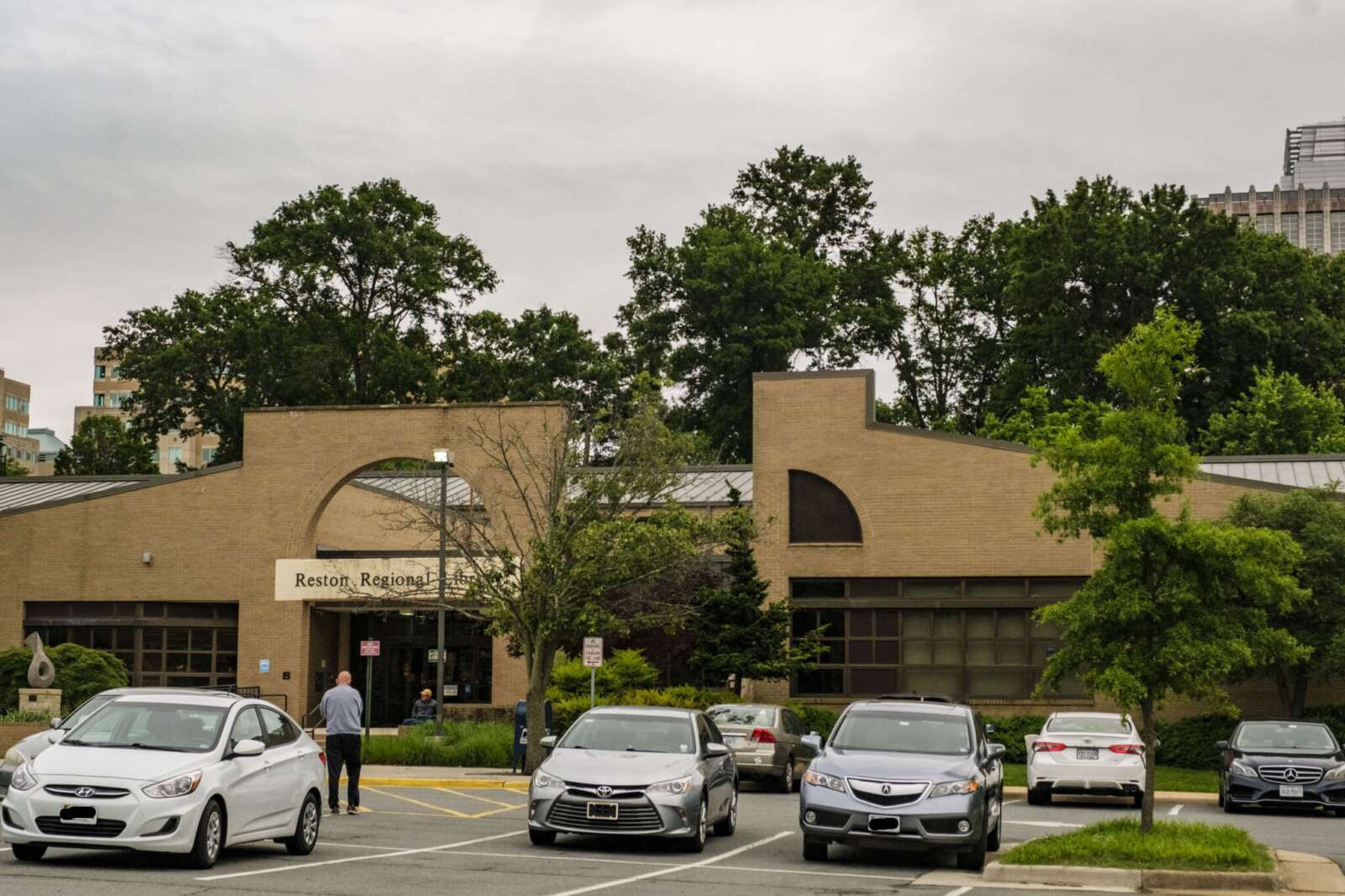
Planned facility upgrades will require the Reston Regional Library to close for an extended period this summer. Friday, June 28, will be the last day of public operations for the aging…
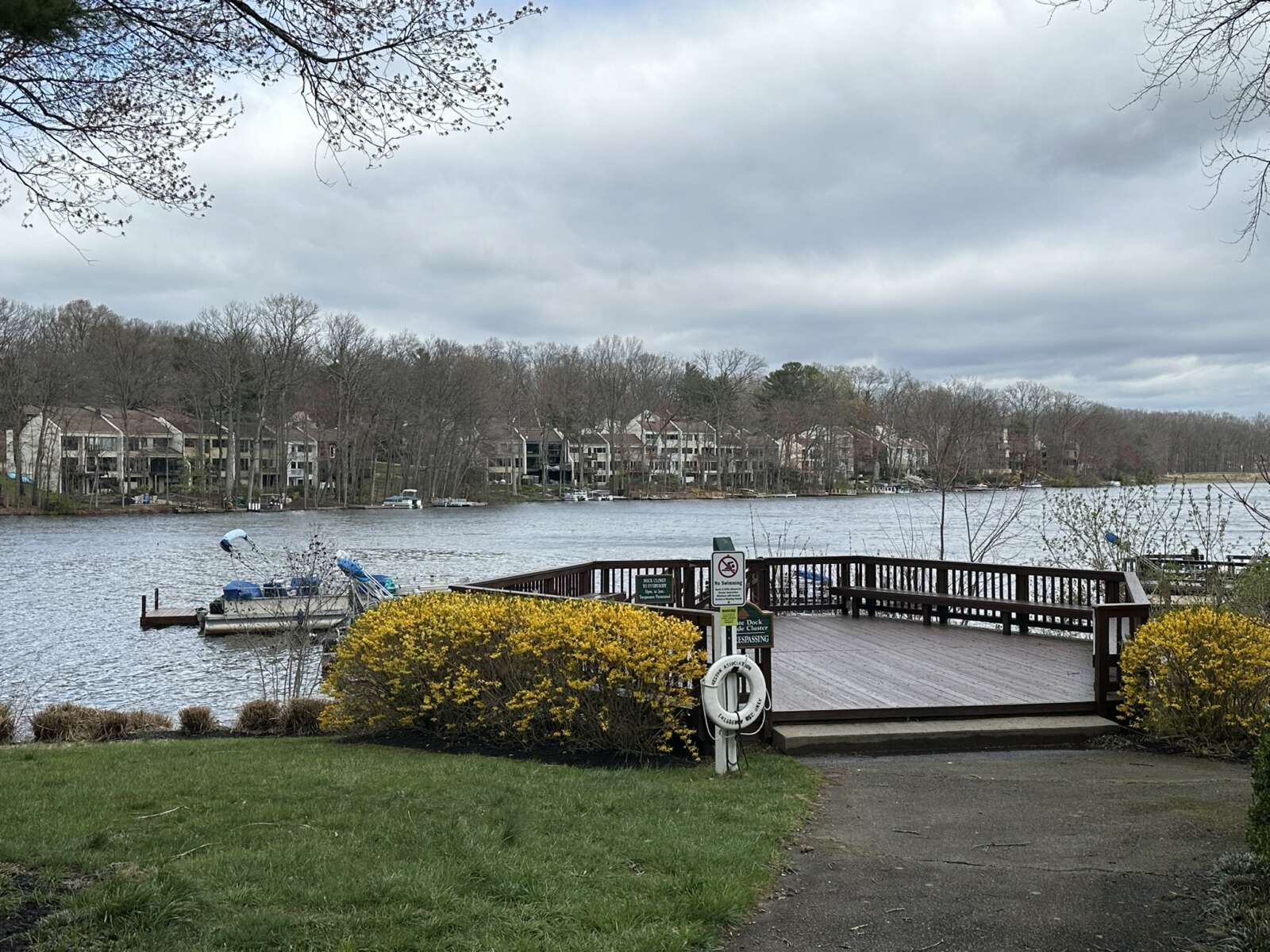
A private boat dock on Lake Anne in Reston (staff photo by Angela Woolsey) Sentencing of Driver in Fatal Oakton Crash Delayed — “The sentencing hearing in the manslaughter case of…
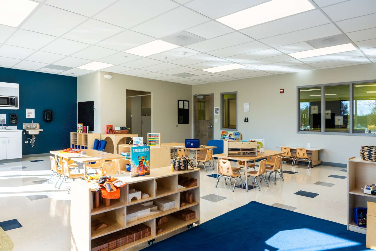
Celebree School will have a grand opening for its new Herndon location on Saturday, April 27 (courtesy of Celebree School) A Maryland-based early childhood education company is opening a second…
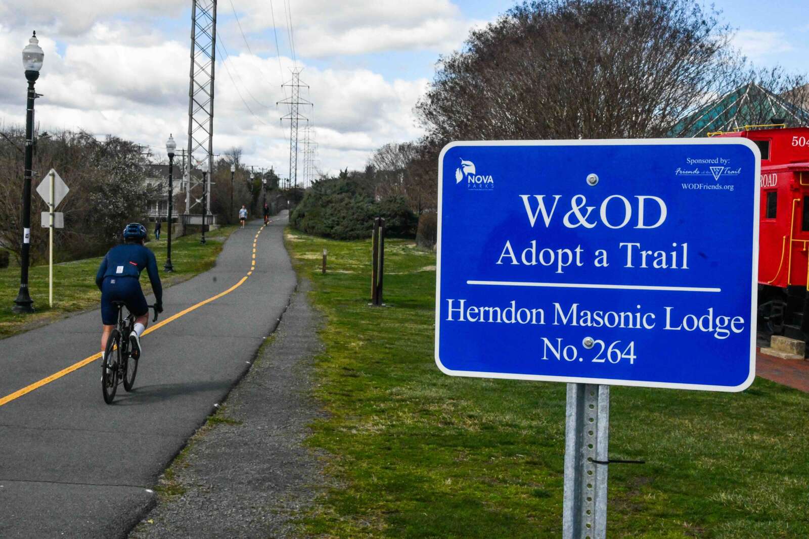
W&OD Trail in Herndon (staff photo by James Jarvis) The Washington & Old Dominion (W&OD) Trail has reached the half-century mark. The Northern Virginia Regional Park Authority (NOVA Parks) is…