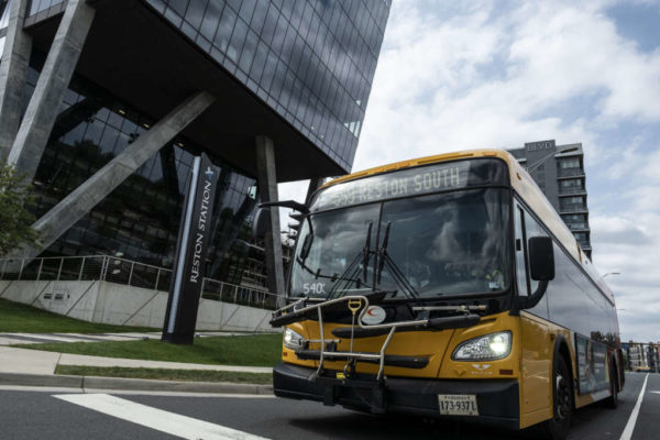
Now, Reston residents can access detailed local transportation data with a click.
An interactive Reston Transportation Data Hub came online earlier this week, offering compiled data sets detailing how and when Restonians move about town.
The tool features vehicle, pedestrian, bicycle, and public transit data. Much of the data is from November 2019.
“This system provides a new way for residents to understand both the big picture and the details of our current and planned transportation system,” Walter Alcorn, Hunter Mill District Supervisor and Transportation Committee Chair, wrote in the press release. “Whether you drive, ride rail/buses, walk or bicycle, information on how the system fits together and coming improvements is critical. This data hub is an important step forward.”
Beyond that, the tool also maps upcoming transportation and infrastructure projects including timelines and costs. It also provides a comprehensive map of pedestrian and biking trails in Reston.
A high level analysis shows that traffic volume tends to be higher in Reston during the evening peak rush hour than the morning equivalent.
The report speculates that, along with commuting, this is due to the combination of errands and non-work trips that more often happen in the evening.
There are also other data hubs being planned, including ones showing zoning activity and parks that will show how land is being used in Reston.
Full press release below:
Reston residents, businesses and stakeholders can now access the latest information about transportation in the Reston area. The online, interactive Reston Transportation Data Hub features vehicle, pedestrian, bicycle, and public transit data, in addition to information about planned infrastructure improvements and transportation projects for Reston.
The Transportation Data Hub is one component of the Reston Data Visualization project. Led by the Fairfax County Department of Planning and Development Urban Center’s Section and GIS Department, the project focuses on data transparency associated with Reston development and infrastructure improvements, including information about mobility, parks, and zoning activity.
“This system provides a new way for residents to understand both the big picture and the details of our current and planned transportation system,” said Walter Alcorn, Hunter Mill District Supervisor and Transportation Committee Chair. “Whether you drive, ride rail/buses, walk or bicycle, information on how the system fits together and coming improvements is critical. This data hub is an important step forward.”
Additional Data Hubs are planned for the Reston Data Visualization project – including a Zoning Activity Data Hub and a Parks Hub – for sharing land use information with the Reston Community.
The main Reston Data Visualization page, which includes the Reston Transportation Data Hub, can be found at https://reston-data-visualization-fairfaxcountygis.hub.arcgis.com/. For questions about the new Transportation Data Hub or the Reston Data Visualization project, contact the Department of Planning and Development’s Urban Centers Section.
The Transportation Data Hub is a collaboration between Fairfax County’s Department of Planning and Development and Department of Transportation.


